
During the recent field campaign, the SeeKaquA project reached several milestones in advancing geoscientific methods for deep groundwater exploration in Southern Africa. This second major campaign brought together experts from all consortium partners, alongside key Zambian stakeholders, including the UAV service provider DragonFly, the regional NGO Mafisa, and the Ministry of Water Development and Sanitation (MWDS).
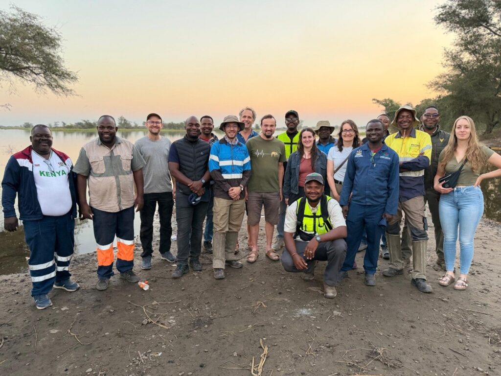
Beyond the scientific results, the campaign marked a significant step forward in transferring knowledge, methods, and technology into practical application. The newly developed receiver system was successfully deployed under field conditions for the first time, demonstrating its operational readiness. Most importantly, the campaign showed that even complex scientific surveys can be successfully implemented in remote regions of Southern Africa by overcoming logistical, technical, and administrative challenges through close collaboration with local and international partners.
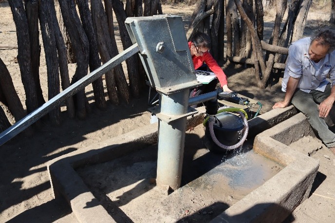
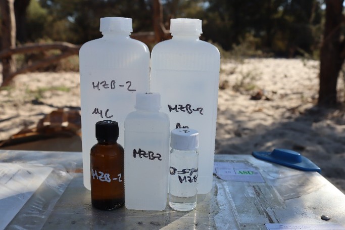
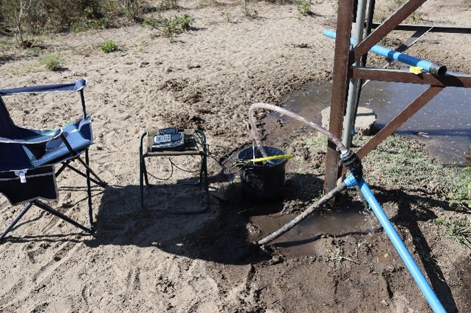
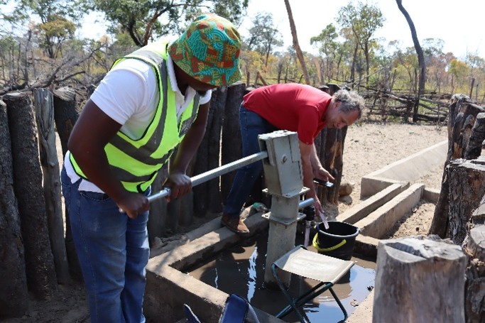
Over three weeks of intensive fieldwork, the team completed a 100 km-long audio-magnetotelluric (AMT) profile to investigate the deep regional structure of the Machile Graben. In addition, shallow transient electromagnetic (TEM) measurements were combined with a dense semi-airborne electromagnetic (SAEM) survey to characterize the three-dimensional salinity distribution of deep aquifers to depths of approximately 500 m across a 5 × 6 km study area. Complementary groundwater samples were collected for hydrochemical analysis, enabling the integration of geophysical and geochemical data.
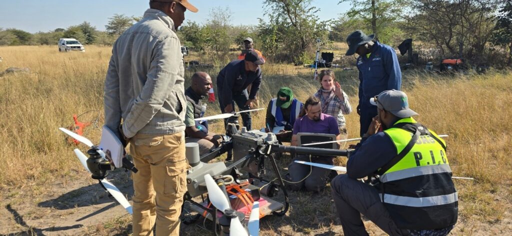
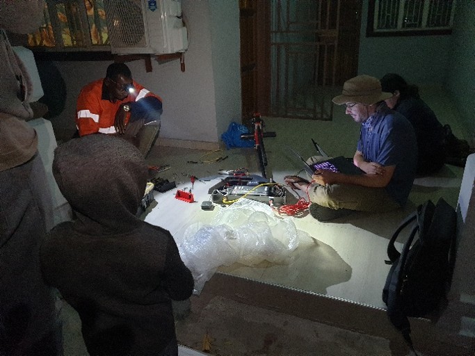
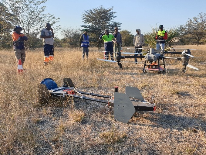
Inversion results from the TEM and AMT datasets reveal pronounced lateral variations in both aquifer depth and groundwater salinity across the Mwandi region. The observed hydrochemical variations between different wells and boreholes further highlight the complexity and heterogeneity of the local groundwater systems. These promising early results reinforce our confidence that the Mwandi demonstration site provides an excellent opportunity to showcase the capabilities of the SAEM method for mapping the spatial variability of aquifer systems in complex geological environments. Analyzing all datasets together will provide a comprehensive understanding of groundwater conditions and support the development of scientifically sound strategies for sustainable water supply at the project’s demonstration site.
Authors:
Dr. Raphael Rochlitz, Dr. Roland Bäumle
For more information and details, please visit the SeeKaquA project website.
