
The partners University of Zambia (UNZA), terratec Geophysical Services Namibia, and the LIAG-Institute for Applied Geophysics sampled the first ground-based audio-magnetotelluric (AMT) profile in the Machile-Zambesi basin in Zambia at the end of 2025. In addition to existing information about the subsurface electrical properties – corresponding to the salinity of the aquifers – in the upper 100 m from airborne surveying, we received now a more robust image down to more than 500 m depth. In a region that solely depends on temporarily inaccessible or polluted surface or shallow-depth water resources, potential deeper freshwater resources can become an alternative water source in the future.
The new data support narrowing down the transition zone between shallow fresh and saltwater aquifers along the western flank of the regional Graben system which provides valuable information to prepare the second major consortium measurement campaign in June 2026 including UAV-based 3D electromagnetic surveying and geochemical sampling. The activities and interdisciplinary scientific discussions further strengthened our international cooperation and also provided valuable experiences tackling logistical challenges such as permitting or customs processes.
During the past months, we have also achieved major progress in developing a novel receiver system which is a) more lightweight, b) shows superior data quality for deeper investigations and c) can be operated independent of the specific UAV as carrier. The newest generation of SHFT-03e coils for three-component magnetic field measurements are mounted in the nose of the new receiver system, whereas two inertial measurement units and the data logger are installed in the rear part, connected by ultra-lightweight carbon rods. The system is technically fully functional and the final development steps now include benchmarking the system in a realistic experiment and constructing an aerodynamic hull.
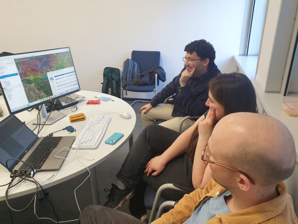
Right now, project partners from terratec Geophysical Services Namibia and Germany visit LIAG in Hannover in a bilateral workshop to transfer in-depth knowledge about the instrumentation and application of the semi-airborne electromagnetic method as well as data processing and inversion to increase the operational independence as one of the major capacity development aspects of SeeKaquA in Southern Africa. Another purpose of our meeting is to set up a detailed plan for the fieldwork logistics with the partner Federal Institute for Geosciences and Natural Resources (BGR) as basis for the complete consortium to make final decisions on the main survey plan during the upcoming online meeting at the end of this week.